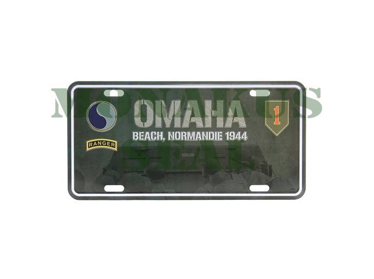
License Plate Ohama Beach Normandie 1944 made of Aluminum. Dimensions 303mm x 151mm.
Omaha, commonly known as Omaha Beach, was the code name for one of the five sectors of the Allied invasion of German-occupied France in the Normandy landings on June 6, 1944, during World War II. "Omaha" refers to a section of the Normandy coast, France, facing the 8-kilometer (5-mile) Channel, from east of Sainte-Honorine-des-Pertes to west of Vierville-south -Mer on the right bank of the Douve River estuary and an estimated 150 feet (45 m) high cliffs. The landings here were necessary to link the British landings east on Gold with the US landings west on Utah, thus providing continued accommodation on the Norman coast of the Bay of the Seine. Taking Omaha would be the responsibility of United States Army troops, with shipping, mine sweeping, and a naval bombardment force provided primarily by the United States Navy and Coast Guard, with contributions from the British, Canadian and Free French.

